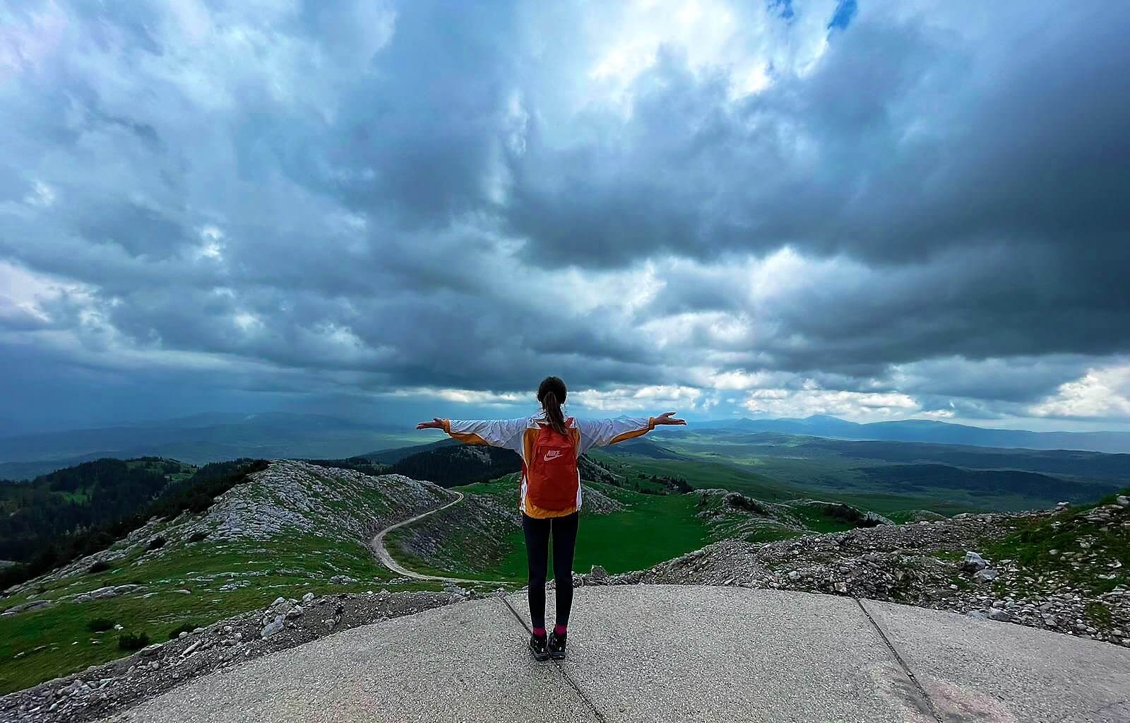
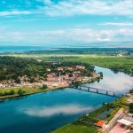
You can see really far from Vitorog!
When the alarm rings on weekdays and reminds us that we need to go to school, college, or work, we all get irritated, but what about when the same alarm reminds us that it’s time for a day in the mountain? I don’t know about you, but I jump out of bed much faster! 😀
Five o’clock in the morning. On the street, only one couple in love, who I would say were returning from a party, and me. Shoes in one hand, a bag with spare clothes in the other (miraculously, they announced rain), and a backpack on the back, then the bus route that, no more, no less, drives to Vitorog.
Vitorog i.e. “Vitorozi”
Vitorog is a mountain in Bosnia and Herzegovina that is part of the Dinaric mountain range and represents the border between the Republic of Srpska and the Federation of Bosnia and Herzegovina. The top of Mount Vitorog is the crossroads between the municipalities of Šipovo, Glamoč, and Kupres. The surroundings of Vitorog exude a natural beauty. More precisely, Vitorog itself is a huge natural beauty at 1,747 meters above sea level (Mali Vitorog – Small Vitorog) and 1,906 meters amsl.(Veliki Vitorog – Big Vitorog).
The starting point was the village of Šemanovci, which delighted me “at first”. Peace, silence, a fairy-tale landscape, and people… But not just any people, but those who still cherish true human virtues, which is a rarity today – you’ll admit… A small snack, a glass of rakija, as BiH tradition dictates, then the direction of Vitorog!
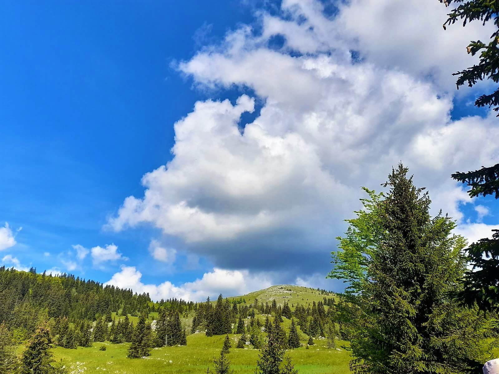
View of Mali Vitorog, Photo: Ana Timarac
The human eye could not glimpse the beauty. Dense forest, long flower meadows, well-maintained paths, the occasional wild chicken, and the murmur of mountaineers. About sixty of us. We climbed Mali Vitorog for about 3 hours, while it took us another 2 to reach Veliki Vitorog. When the view of Veliki Vitorog opened up from Mali Vitorog, I admit, I wasn’t so sure about it, but returning wasn’t an option. I thought: “There is no giving up! The higher the peak I win, the better and nicer the article for Adria.”😉
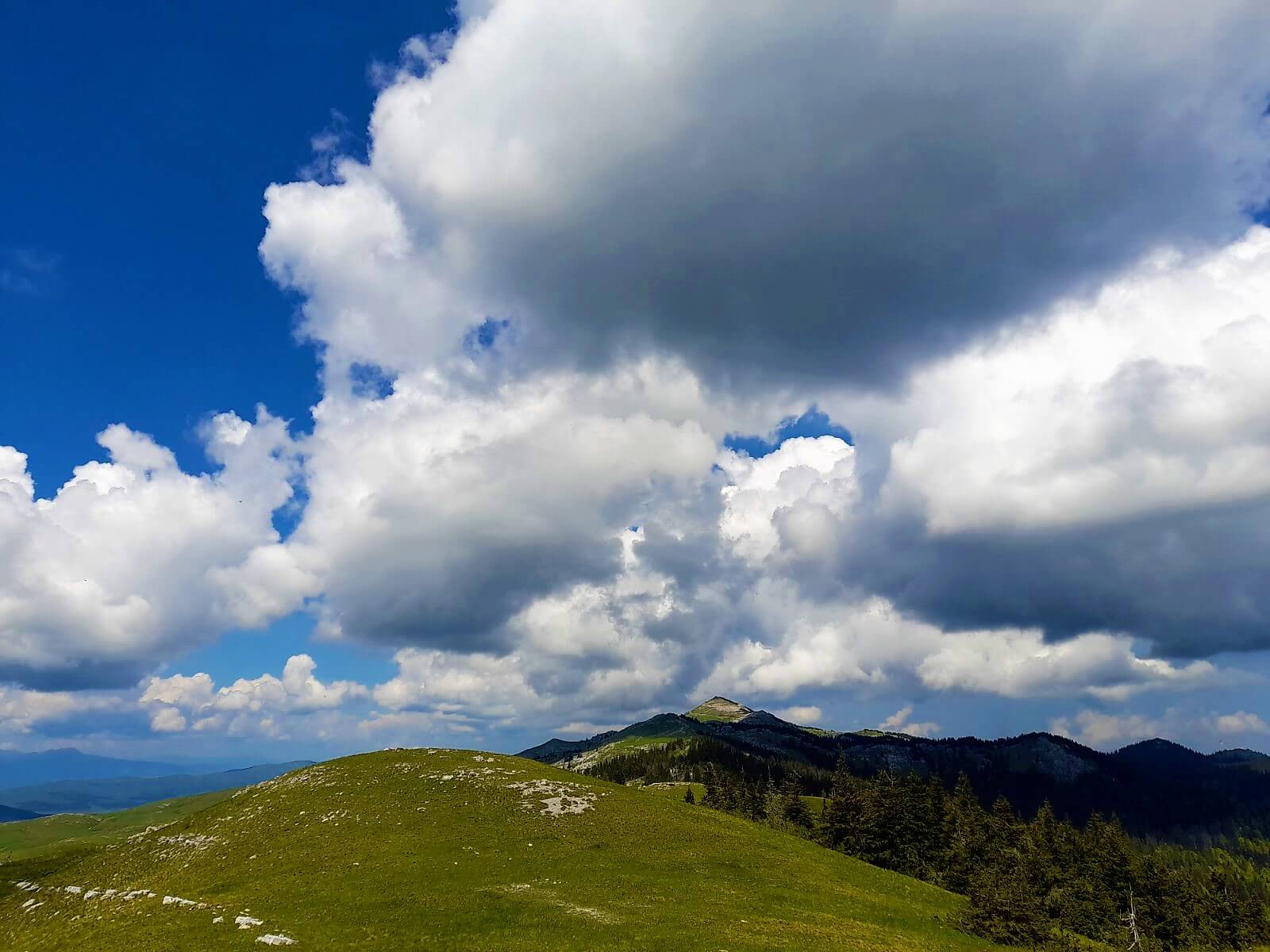
View of Veliki Vitorog, Photo: Ana Timarac
And it was like that, after 6 hours of walking, with breaks, we conquered Vitorog and waved in the distance to Osječenica, Klekovači, and Plješevica, then Šatora, Dinara, Troglav, Cincar, and then, on top of Kupreški polje, and Vrana, Čvrsnica, Raduša, Vranica, and mountainous Vlašić.
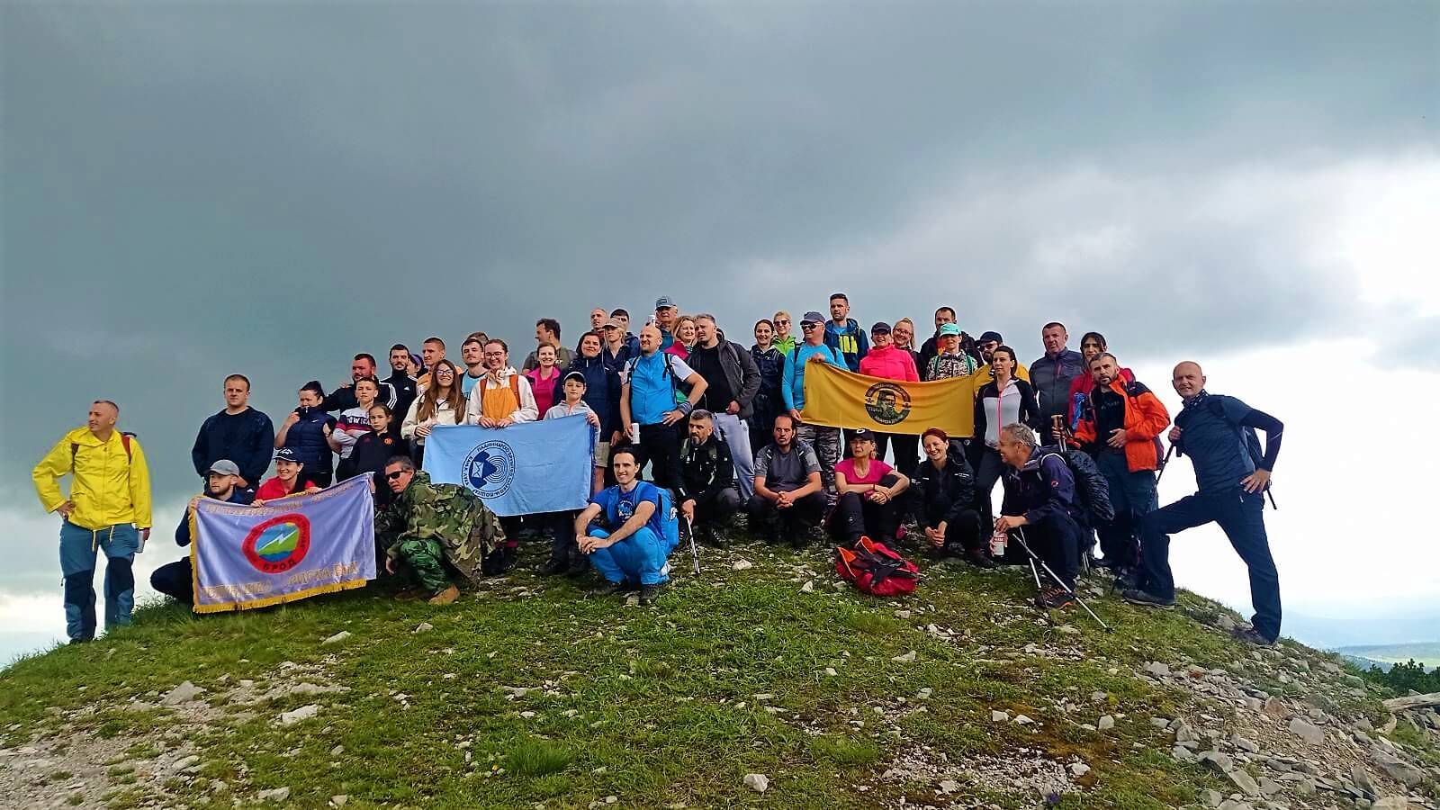
Joint photo at the top of Veliki Vitorog, Photo: Ana Timarac
After taking photos, we rushed from the top because the sleet started… Fortunately, it quickly gave up and brought us sun, which followed us the whole time reaturning back to the village. And what do you think was waiting for us there? Beans stew, of course! It is simply impossible to go to the mountains without it.
We returned to Banja Luka around 22:30. Swollen joints, sore legs, sunburned face, and a heart full of incredible memories that will live on for a long, long time!
Why do I need this in my life?
P.S. Every time at the beginning of a hike, I ask myself, “Why do I need this in my life”?, but not long after that nature answers, “Because of me!”. Take a good look at the photos, and you will see the answer yourself, and maybe it will encourage you to head to Vitorog in the near future. Maybe we’ll meet there.😊
Ana Timarac
Lover of travel, art and genuine human kindness.

Leave a Reply