
Do you know how many rivers Slovenia has and which are the most important?
You can cross Slovenia by car in just a few hours, but you cannot bypass its rivers so easily. They do not behave as landscape decoration, but as its structural framework. Mountains push them toward valleys, karst hides them underground, and plains widen and calm them. On a map, they resemble a fishing net; in reality, they are a system that holds the country together.
More than 28 thousand watercourses are recorded within Slovenia’s territory. If we consider only those longer than 25 kilometres, the number comes to around 59 permanent rivers. Most belong to the Black Sea drainage basin, while a smaller western part of the country sends its water toward the Adriatic Sea.
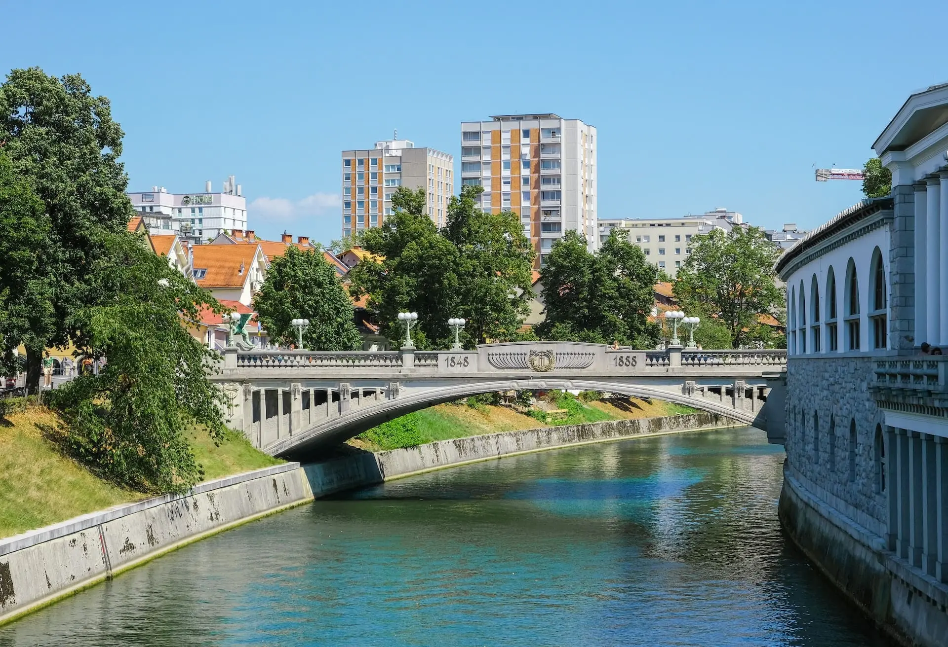
Ljubljanica, Photo: José Barbos Pexels
Among the largest is the Sava. With a total length of about 945 kilometres, approximately 221 kilometres flow through Slovenia. It is formed by the confluence of the Sava Dolinka, which rises near Zelenci close to Kranjska Gora, and the Sava Bohinjka, which flows out of Lake Bohinj. Near Kranj, these two Alpine rivers definitely merge into a single Sava, while the city remains elevated above its canyon like a natural fortress. From that point onward, the Sava becomes the main river axis of central Slovenia and a logical framework for the development of Ljubljana and downstream industrial zones.
The Drava is the longest river by length of flow within Slovenia, at about 144 kilometres. It enters from the north, from Austria, and moves calmly through the Podravina region. Unlike the Alpine rivers in the west, the Drava is wide and strongly connected to the country’s hydroelectric system.
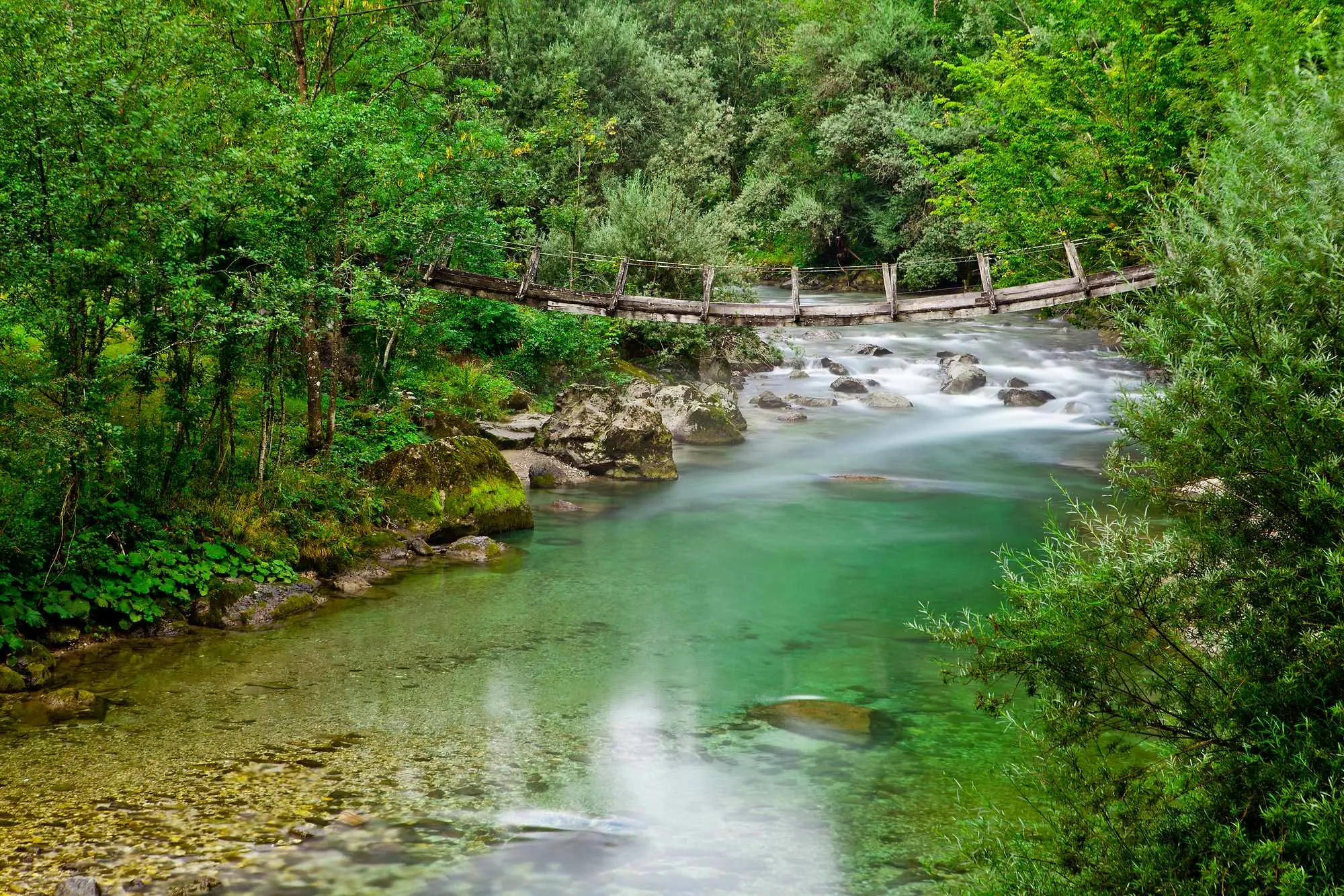
Yet the true picture of Slovenian rivers begins outside these major names. The Savinja, about 102 kilometres long, remains entirely within the country. It rises high in the Kamnik Savinja Alps, below Okrešelj, and in its upper course retains a mountain character. Only in the Celje Basin does it become more stable, though it still carries a reputation as a river that can react quickly and forcefully.
Savinja, Photo: Jošt Gantar, www.slovenia.info
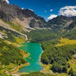
In the west of the country reigns the queen, the Soča, which is about 138 kilometres long, roughly 96 of which lie in Slovenia. It rises in Trenta, in the Julian Alps, from a powerful karst spring that immediately produces clear and cold water. The Soča is short compared to the Sava, but visually dominant. The valley it flows through is shaped by the river itself, not the other way around.
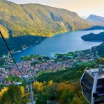
One of the most unusual rivers is the Ljubljanica. About 41 kilometres long, it appears modest on paper. In reality, it is a complex karst system. The water flowing through Ljubljana comes from underground streams that begin further south as the river Pivka, then sink and continue as the Unica, only to reemerge near Vrhnika as the Ljubljanica. This is why it is often described as a river with multiple names. In the city, it flows calmly, almost disciplined, but behind that calm lies an underground system stretching tens of kilometres.
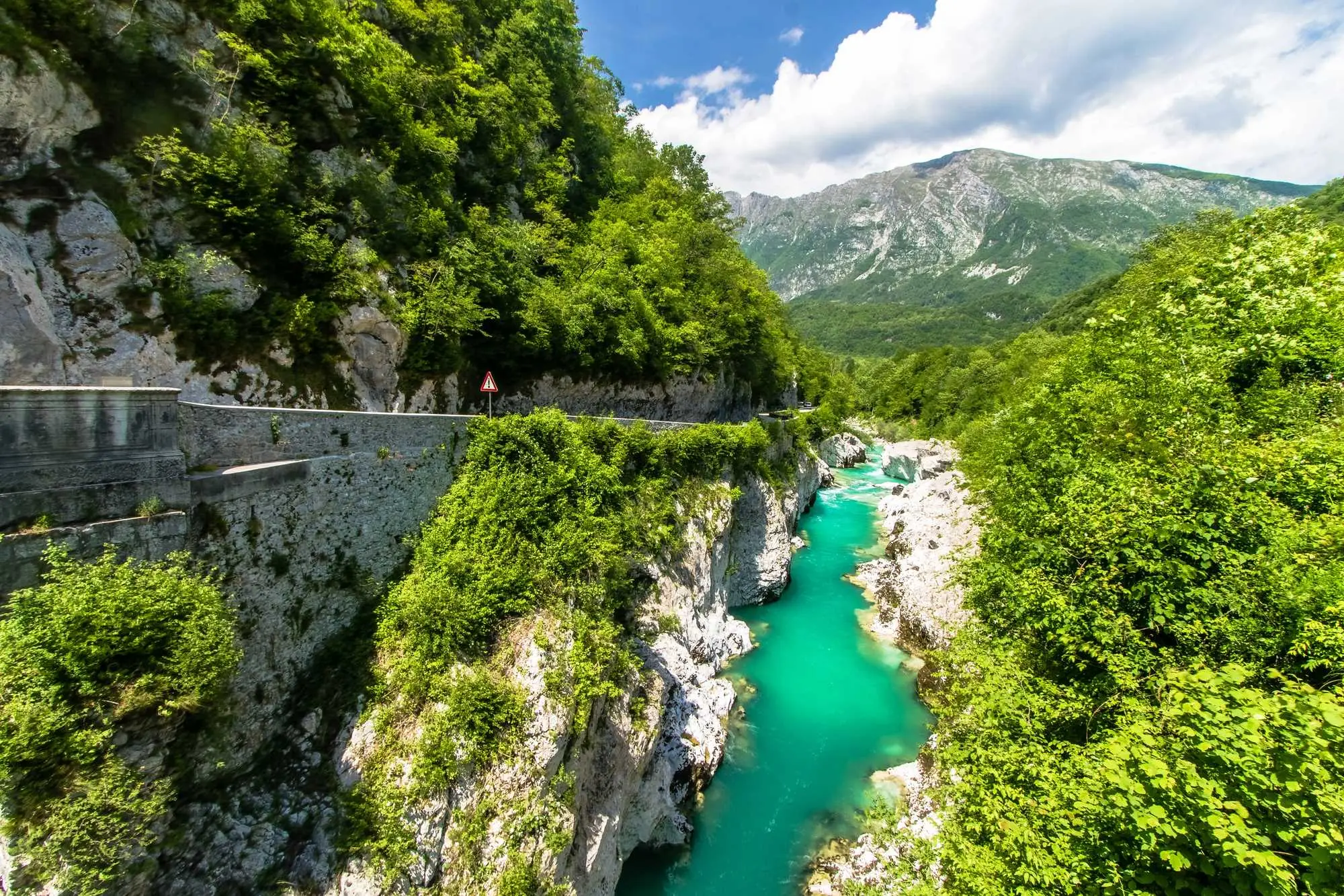
Soča Photo: jason.troutnut Depositphotos
In the southeast flows the Krka, about 94 kilometres long. It rises in a karst area near the village of Krka and remains entirely within Slovenia. Unlike the fast Soča or the changeable Savinja, the Krka is stable, slower, and warmer, known for its tufa barriers and tranquil valleys.
The Kolpa is about 292 kilometres long, and for much of its course, it forms a natural border. In summer, it is one of the warmest Slovenian rivers. Slow and winding, it is more a space for staying than for spectacle.
Kolpa, Photo: Tomo Jeseničnik, www.slovenia.info
Along the western border flows the Nadiža, with a total length of about 60 kilometres. It rises in Italy and passes through Slovenia only along a shorter section. Although territorially modest, it has a strong local identity, as it is warmer than most Alpine rivers and suitable for swimming.
At the opposite end of the scale is the Jezernica near Bohinj, only about 300 metres long and often mentioned as one of the shortest rivers in Europe.
From Alpine springs to karst sinkholes and Pannonian meanders, Slovenian rivers cannot be placed into a single group. Some are almost a thousand kilometres long, others barely exceed the length of a football field, and together they show just how hydrographically diverse Slovenian territory truly is.
Sara Sedić
I plan to live in the moment :)
Leave a Reply