How many rivers does Albania actually have and where do they flow?
Albania is among the most water-rich countries in the Balkans. Although relatively small in size, it has an exceptionally dense and well-developed river network. According to hydrological data, around 150 rivers and permanent watercourses have been recorded within the country, several dozen of which are considered significant in geographic and spatial terms.
Most rivers rise in the mountainous interior, while very few sources are located in lowland areas. Due to the pronounced relief and short distances between the mountains and the sea, Albanian rivers are generally short, with steep gradients and a strong seasonal character. During winter and spring, water levels are high, while in summer, many smaller watercourses weaken significantly or partially dry up.
Almost the entire country belongs to the Adriatic Sea drainage basin, while a smaller part of the far south drains toward the Ionian Sea. Because of this position, rivers play a key role in shaping the landscape, forming fertile plains and supporting the development of the hydroelectric system.
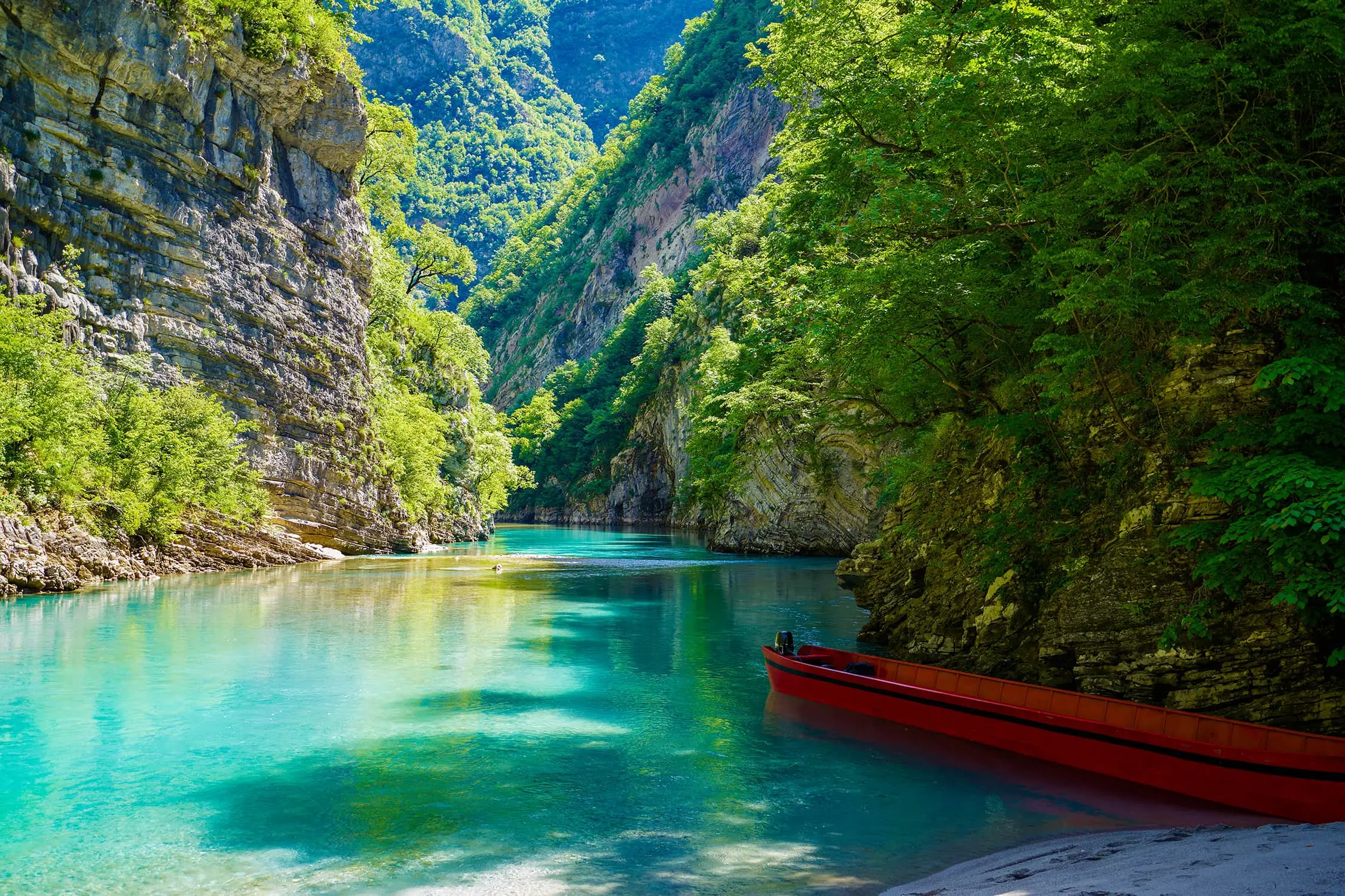
Osum, Photo: krugli86 Depositphotos
MAIN RIVERS OF ALBANIA
The backbone of Albania’s hydrographic network consists of several major river systems. The Drin is the longest and most water-rich river in the country. It is formed by the confluence of the Black Drin and the White Drin near Kukës. The White Drin rises in Kosovo, while the Black Drin flows out of Lake Ohrid in North Macedonia. The Drin flows westward, and its waters reach the Adriatic Sea partly through the Buna River system and partly through its own distributaries along the coast.
The Vjosa is one of the most important rivers of southern Albania and one of the few large European rivers that until recently flowed without major hydroelectric interventions. It rises in the Pindus Mountains in Greece, enters Albania near the Çarshovë area, and, after more than 270 kilometers of flow, empties into the Adriatic Sea north of Vlora.
The Seman is formed by the confluence of the Osum and Devoll rivers in the central part of the country. After joining, it flows through the lowlands of western Albania and reaches the Adriatic Sea through a wide alluvial zone.
The Shkumbin cuts across the country almost through its middle. For centuries, its valley served as a natural transport corridor between the coast and the interior of the Balkans. The Mat rises in the mountains of northeastern Albania and flows into the Adriatic Sea north of Durrës. It is important for its strong discharge and numerous mountain tributaries. The Buna connects Lake Skadar with the Adriatic Sea. It is about 41 kilometers long and is the only navigable river in Albania. It also forms a natural border with Montenegro.
The Ishëm and Erzen are shorter rivers of the central coastal region, rising in the hilly hinterland of Tirana and flowing into the Adriatic Sea.

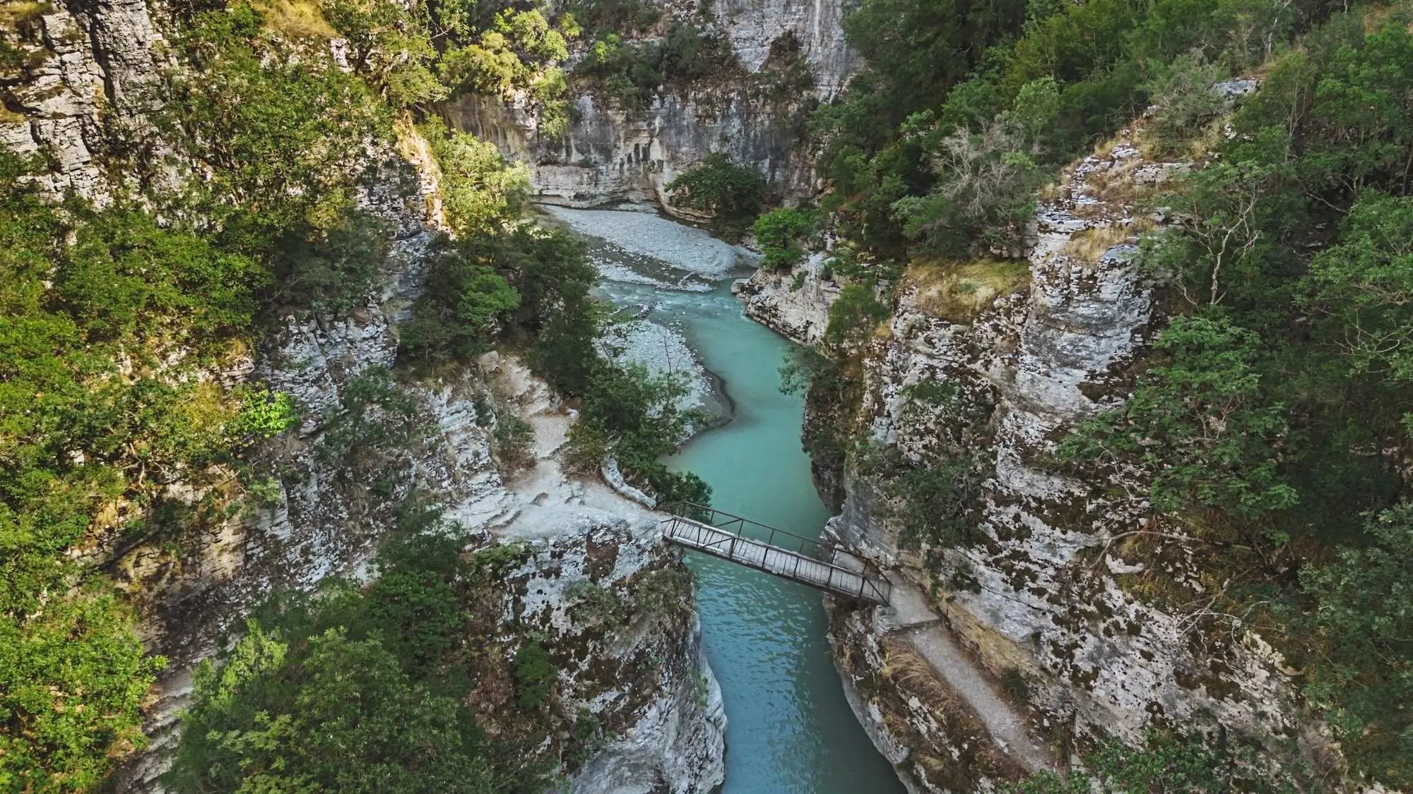
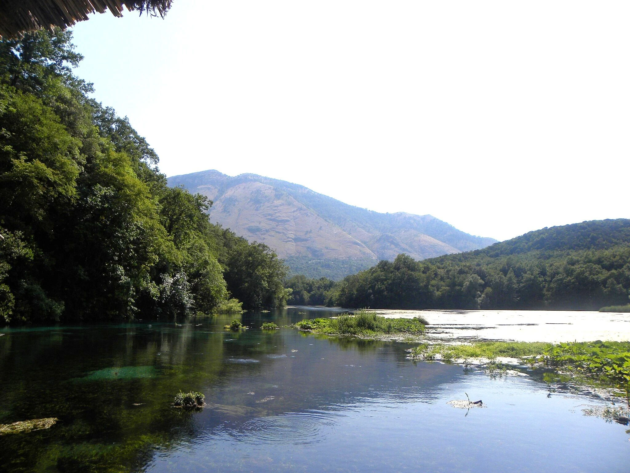
Confluence of the Drin and Buna rivers, Photo: Adria.fun
NORTHERN ALBANIA
The northern part of the country is marked by a strongly mountainous landscape and belongs primarily to the Drin basin and partly to the Buna system. Numerous powerful mountain rivers rise in the Albanian Alps. Among the most significant are the Valbona, Shala, Kir, and Gashi. These rivers flow through deep valleys and canyons and are known for their cold, clear water and large elevation differences.
The Cem River, which partly forms the border with Montenegro, also belongs to the northern basin, with its waters reaching the Adriatic Sea via the Buna. Within the Mat basin, the Fan River stands out in particular. The Fan is formed by the confluence of the Fan i Madh and Fan i Vogël in the Mirdita region and represents the most important tributary of the Mat. Historically, the Fan valley was one of the central areas of northern Albania.
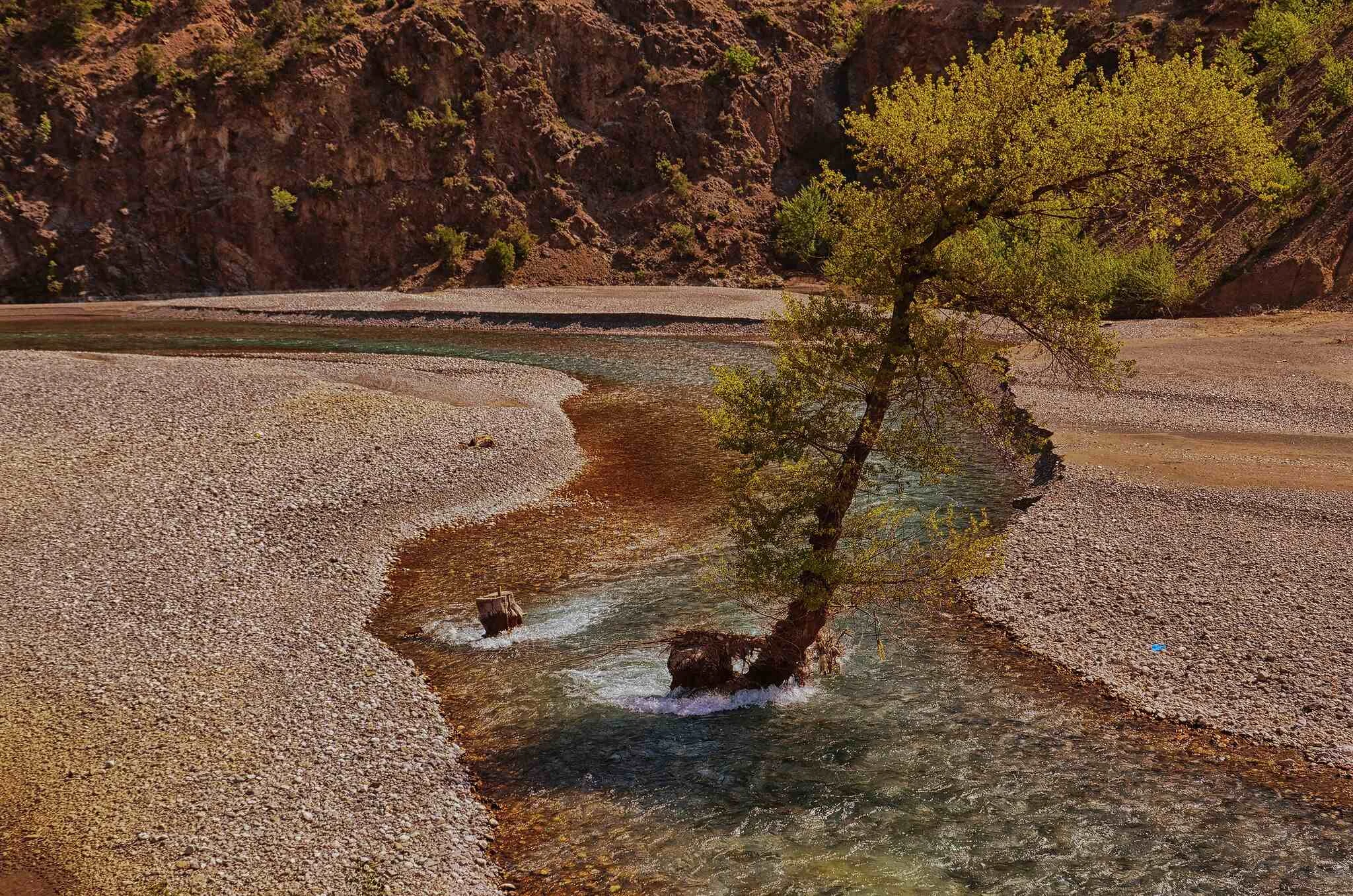
River Fan Photo: Pasztilla aka Attila Terbócs, CC BY-SA 4.0
CENTRAL ALBANIA
Central Albania represents a transition between the mountainous interior and the western lowlands. Within the Shkumbin basin, an important role is played by tributaries coming from the eastern mountains, most notably the Rrapuni River, along with a number of smaller seasonal streams.
The Ishëm gathers a complex system of tributaries such as the Tërkuza, Zeza, and Droja, which drain the lowland and hilly areas north of Tirana. These watercourses are important for the drainage of the central Albanian plain. The Erzen has a smaller but clearly defined basin stretching between the Kraba Mountains and the Adriatic coast.
SOUTHERN AND SOUTHEASTERN ALBANIA
The southern part of the country is the most hydrologically complex. Within the Vjosa basin, the most important tributary is the Drino, which rises in northern Greece and enters Albania near Gjirokastër. The Drino forms a wide valley and collects numerous smaller mountain streams of southern Albania. Another significant tributary is the Shushica, which joins the Vjosa in the coastal area.
The Seman system includes two large drainage basins. The Osum rises on the slopes of Mount Tomorr and receives several mountain tributaries, among which the Tomorrica stands out. The Devoll rises in southeastern Albania near the Greek border and drains the Korçë plateau. Their confluence forms the Seman River.
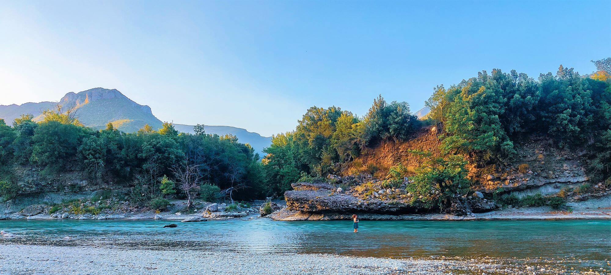
Vjosa River, Photo: Eni Lale, Unsplash
RIVERS OF THE IONIAN BASIN
Unlike most of the country, the far south of Albania belongs to the Ionian Sea drainage basin. The most important river of this area is the Bistrica, which rises in the southern interior and flows into the Ionian Sea south of Saranda. Another significant river is the Pavlla, a transboundary watercourse that flows in Greece and reaches the sea near the archaeological site of Butrint. These rivers are short, but hydrologically important as they form the only stable Ionian drainage basin of Albania.
Bistrica river Photo: Mattias Hallberg, CC BY-SA 2.0
The rivers of Albania form one of the densest and most complex hydrographic networks in southeastern Europe. From the mountain rivers of the Albanian Alps, through the transitional rivers of the central regions, to the lowland and coastal systems of the west and the short Ionian rivers of the south, water remains one of the fundamental elements of the Albanian landscape.
Although the main rivers form the backbone of the system, it is their tributaries that shape valleys, canyons, and fertile plains, defining both the country’s geography and its everyday life.
Sara Sedić
I plan to live in the moment :)

Leave a Reply